KaTi - Kataster Tirol digital

The historical land register, maps, and accompanying documents of the “Franciscan Cadastre” for the province of Tyrol


This is KaTi

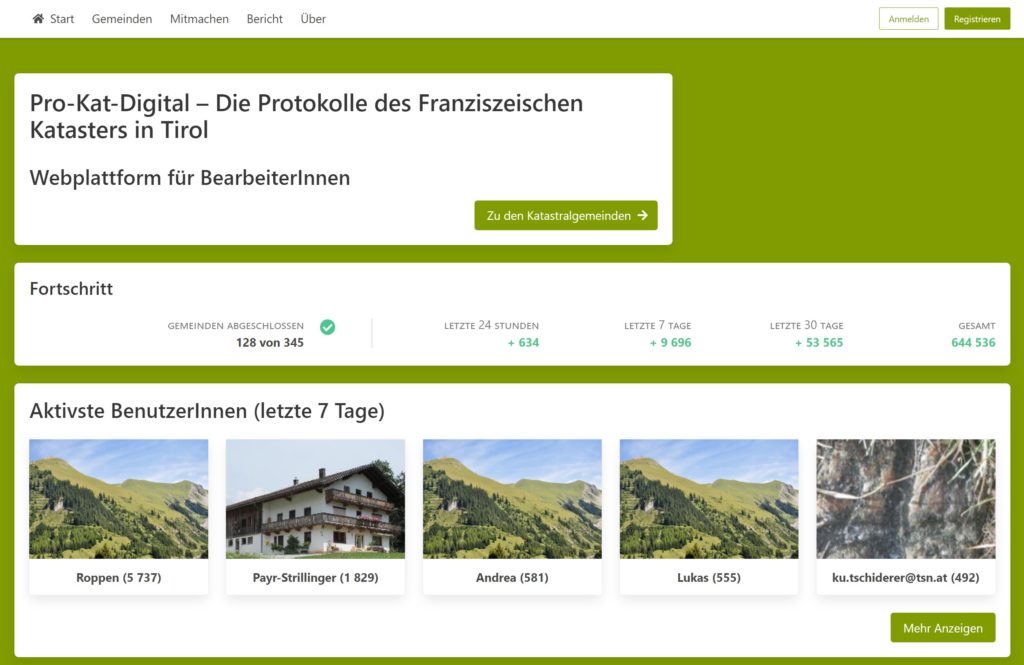
The Kataster Tirol digital (KATI-digital) project for the first time provides comprehensive public digital access to the land register, maps, and accompanying documents of the “Franciscan Cadastre” (Franziszeischer Kataster, in German) for the province of Tyrol. In addition to automated handwritten text recognition with the help of artificial intelligence, a citizen science project has been running since 2020. Local chroniclers have been recording, correcting, and linking all relevant data contained in the maps and accompanying documents such as land and building plot records and descriptive texts.

Activity of the Citizen Scientists

The source material

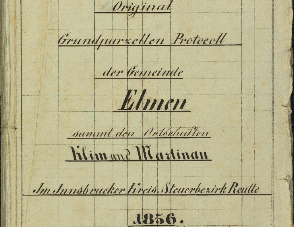
Two different types of source material are being processed by the KATI-digital project: firstly, the detailed survey operations, in particular the land and building plot records. They make up the main part and contain information on the cadastre in tabular form, such as the number of a land parcel and the name of its owner.

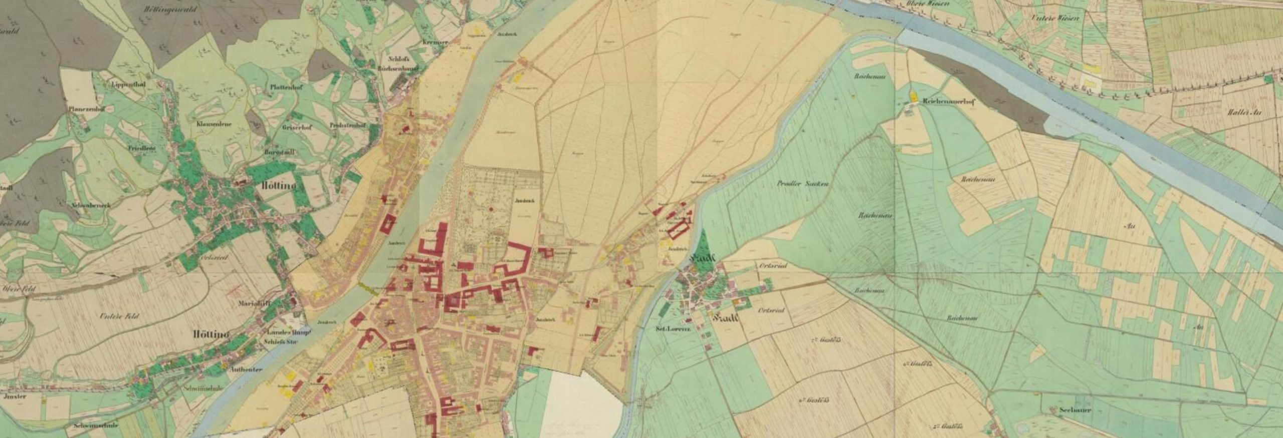
The second group of sources comprises the original maps (“Urmappen” in German), i.e. the original, authoritative land maps of the Franciscan Cadastre.

KaTi is the first, but certainly not last child of Franzi

The KaTi project is only the beginning. Based on the groundwork that this project has laid, the cadastral data of the entire Habsburg Empire will be able to be processed and made accessible to the general public. This is why Franzi was born. Franzi is a platform where the incredible effort and dedicated work of all the volunteer citizen scientists involved comes to light. On this platform, anyone can easily access and search the data of the Franciscan Cadastre. Want to know what land your great great grandfather owned? Franzi has you covered. 

Want to have KaTi in your municipality, state, province or country?

Contact us and we can bring KaTi to your area